
Places in and around Palungtar
These are the sites the municipality promoted under its tourism programme. Most need road access and basic facilities before they can bring in any real income, which is what the homestay work at Ligligkot was trying to prove.
Ligligkot
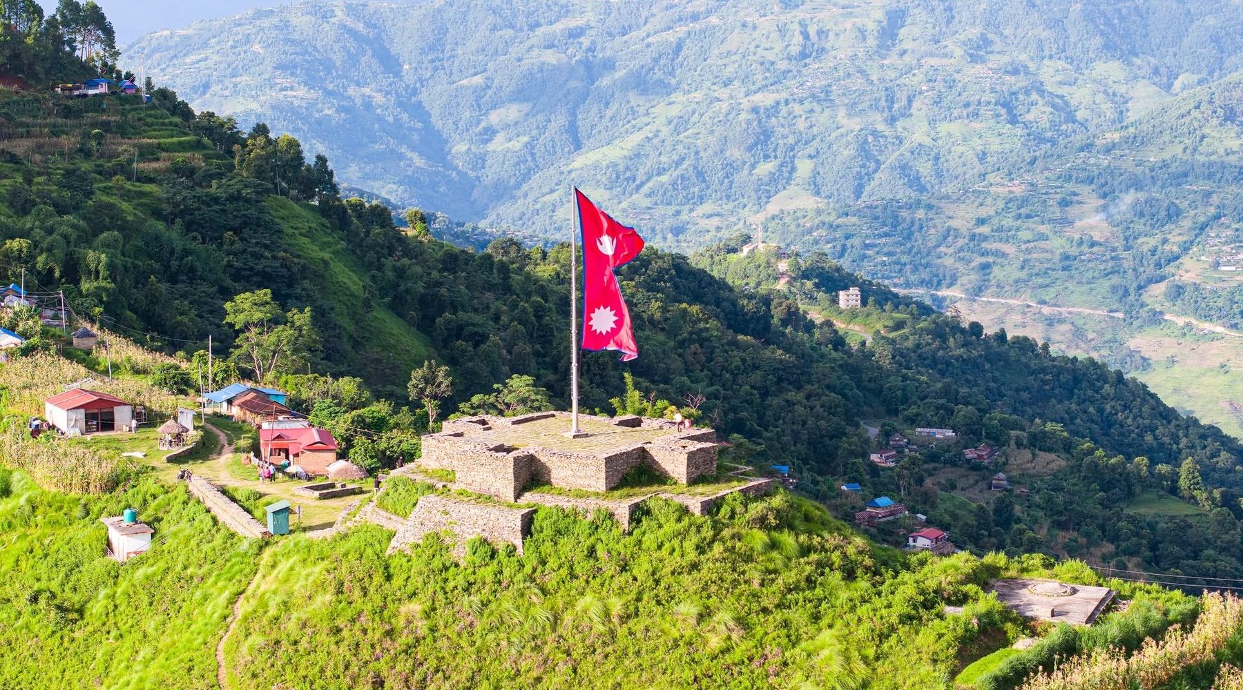
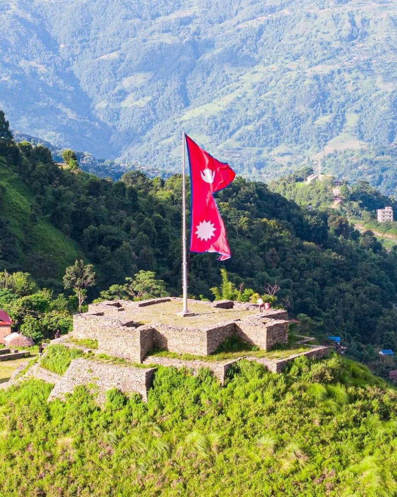
The hill fort sits at 1,437 metres above the municipality. By tradition the kingship of Liglig was decided by a race run up to it, and in 1559 Dravya Shah won that race, took the fort, and went on to found the kingdom of Gorkha. The Shah dynasty and the modern Nepali state both start here.
The walls are ruins now and the village around them has about two thousand people. The community homestay opened during his term was the first attempt to turn that history into an income for the households living next to it.
Ligligkot
The historic hill fort above Palungtar and the main site in the tourism plan. A community homestay was opened here during his term.
Chepe Marsyangdi Dovan
The confluence of the Chepe and the Marsyangdi, and a gathering point during festivals.
Talpokhari
A pond promoted for local recreation and day visits.
Kamdhenu Gaikhui
A site of local religious significance within the municipality.
Lakangkot
A second hill fort on the same ridge, part of the fort trail.
Tatopani
Natural hot springs that already draw visitors from the surrounding districts.
Annapurna Temple
A local temple tied into the municipality's festival calendar.
Kaji Kalu Pande Park
Named after the Gorkhali kaji, connecting unification era history to a public space.
Khurpajung
A viewpoint and short trek promoted as part of the Palungtar circuit.
Why the tourism work mattered
Palungtar has the sites but not the access. A fort with no road and no place to stay brings nobody. The community homestay at Ligligkot was an attempt to show that a village could earn from visitors if the basics were in place.
The work is unfinished. It needs road budget, signage and training before it becomes a reliable source of household income.
Photo credits
Ligligkot, supplied by the office.
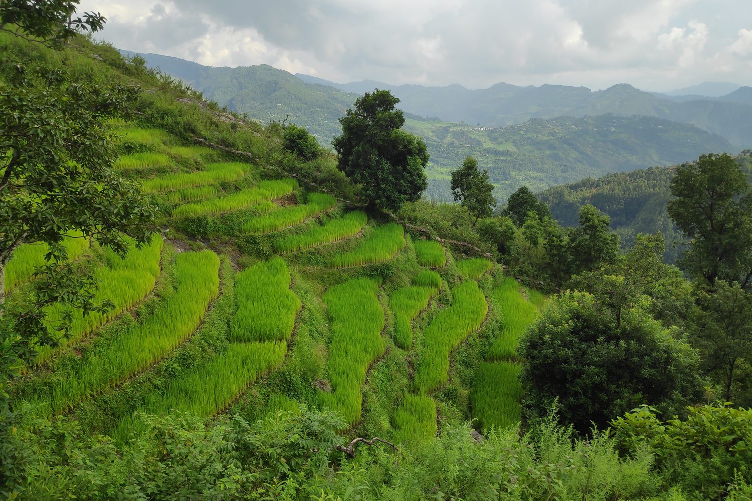
Terraced fields in Gorkha by Gaurav Dhwaj Khadka, Wikimedia Commons, licensed CC BY-SA 4.0, cropped.